

FUJIMORI Terunobu’s “Origins of Architecture” Series No. 16:
The Earth's Memory: Landscapes Shaped by Nature and Human Life
The Sahara Desert: Once a Land of Great Rivers and Greenery (North Africa)
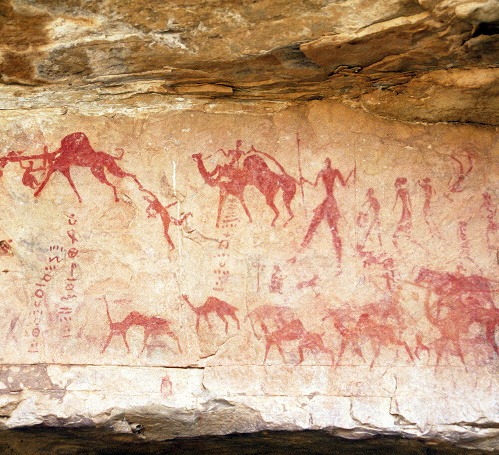
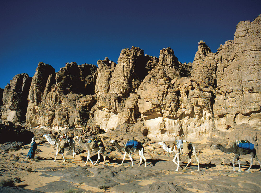
Stretching across North Africa from the Atlantic coast to the shores of the Red Sea, the Sahara is one of the world's largest deserts. Deep within this vast region lies the plateau mountain range of Tassili n'Ajjer in Algeria, whose name means "the plateau of rivers." The area is renowned for its more than 15,000 prehistoric rock paintings depicting aquatic animals, boats, and people engaged in hunting and herding. These paintings bear witness to a time when large rivers flowed through the region, extensive forests and savannas flourished, and human communities lived there permanently.
Scientists believe that the Sahara has undergone repeated cycles of aridification (desertification) and humid phases (greening), driven by changes in Earth's axial orientation that occur at regular intervals (*1). These variations alter the amount of solar radiation reaching the Earth and influence the strength of the monsoon. Today, amid these long-term natural climate cycles and the effects of global warming, the Sahara continues to experience ongoing environmental change.
*1 Earth's axial tilt (currently about 23.4°) varies over a cycle of approximately 40,000 years due to the gravitational influence of the Sun and the Moon, contributing to long-term climate change. In addition, axial precession—a wobbling motion with a cycle of roughly 26,000 years—also affects the climate.
The Nile Delta: A Landscape Created by Floodwaters (Egypt)
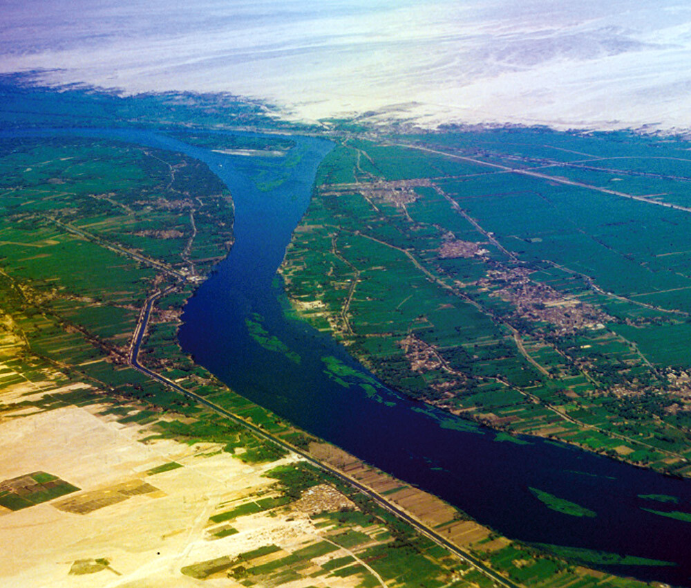
The Nile Delta is a vast triangular plain formed at the mouth of the Nile River. With each seasonal flood, the river carried silt rich in organic matter and minerals from the upstream, the Ethiopian Highlands, gradually depositing it over thousands of years.
As the ancient Greek historian HERODOTUS famously observed, "Egypt is the gift of the Nile." Its fertile soils made agriculture possible in this arid land, allowing irrigated farming to flourish from around 5000 BCE.
In ancient Egypt, the Nile's regular flooding was the lifeline of agriculture. Through generations of managing their lives around these annual inundations, people discovered that the river's floods began when Sirius first became visible, rising above the eastern horizon at dawn. Based on this observation, they devised a 365-day calendar centered on the heliacal rising of Sirius. The calendar was closely tied to the agricultural cycle of inundation, sowing, and harvest, and later became the foundation of the solar calendar.
Salisbury Plain: A Landscape of Megalithic Culture (United Kingdom)
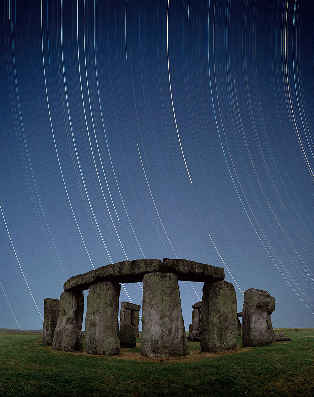
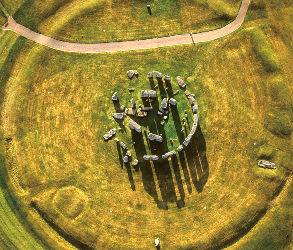
The Salisbury Plain is a plateau formed when layers of chalk (limestone) deposited on the seabed during the Cretaceous Period were uplifted over time. At the heart of this plateau stands Stonehenge, a monumental stone structure built between the Neolithic and Bronze Ages (approx. 3000-1500 BCE). One theory suggests that ancient people came to regard the white chalk landscape as a sacred ceremonial setting, leading them to construct Stonehenge.
The axis of Stonehenge is precisely aligned with the direction of sunrise at the summer solstice and sunset at the winter solstice, leading researchers to believe that it served as a calendar. Recent studies have revealed that the Altar Stone at the center of the monument, weighing roughly 6 t, was transported from Scotland, more than 720 km away.
The Dolomites: A Museum of the Earth and Human History (Italy)
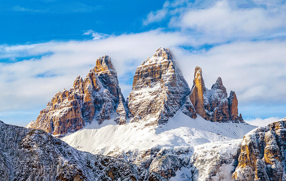
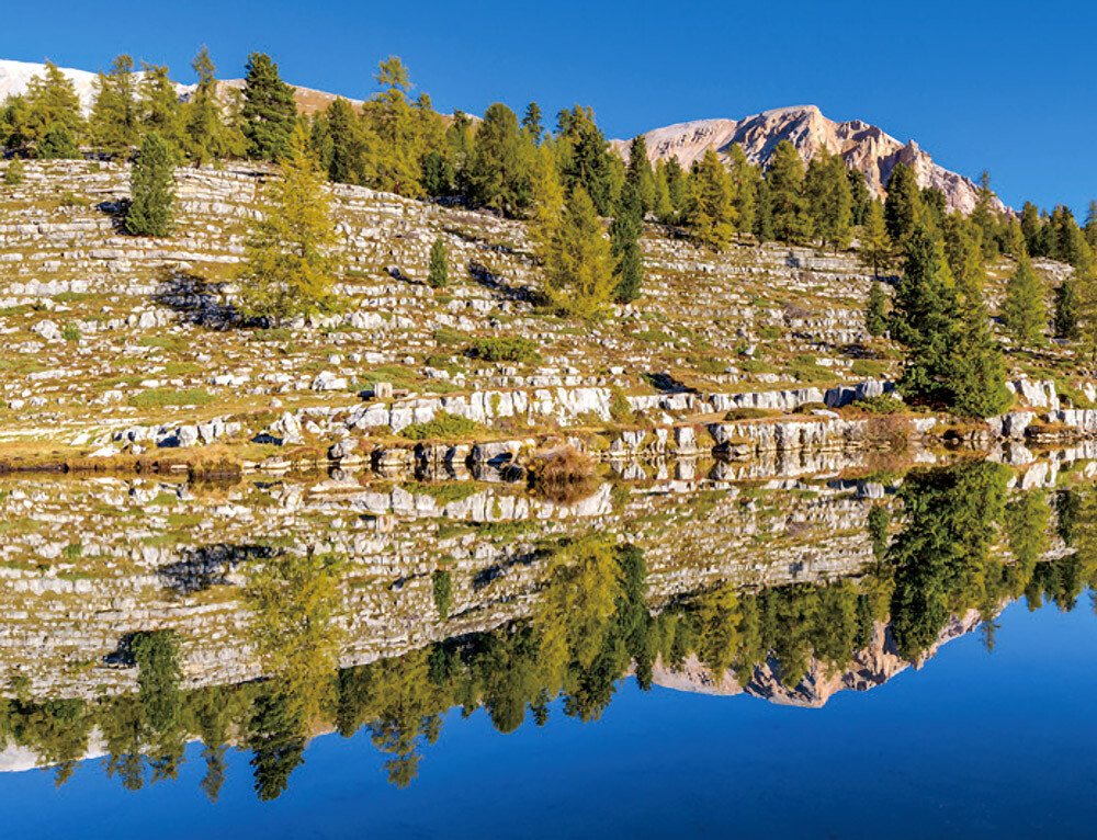
The Dolomites are a mountain range formed from ancient coral reefs that rose above the sea during the Mesozoic Era (approx. 250 million years ago). After being covered by glaciers, the mountains were carved by ice during the last glacial period and further shaped by erosion. Composed primarily of limestone containing the distinctive mineral dolomite, the mountains are characterized by their gray rock faces. In the Dolomites, the history of the Earth can be read in exposed layers of rock, revealing evidence of tectonic movements, marine fossils, and traces of early dinosaurs. The dramatic landscapes created by repeated landslides, avalanches, and other natural processes are regarded as among the most beautiful mountain landscapes in the world.
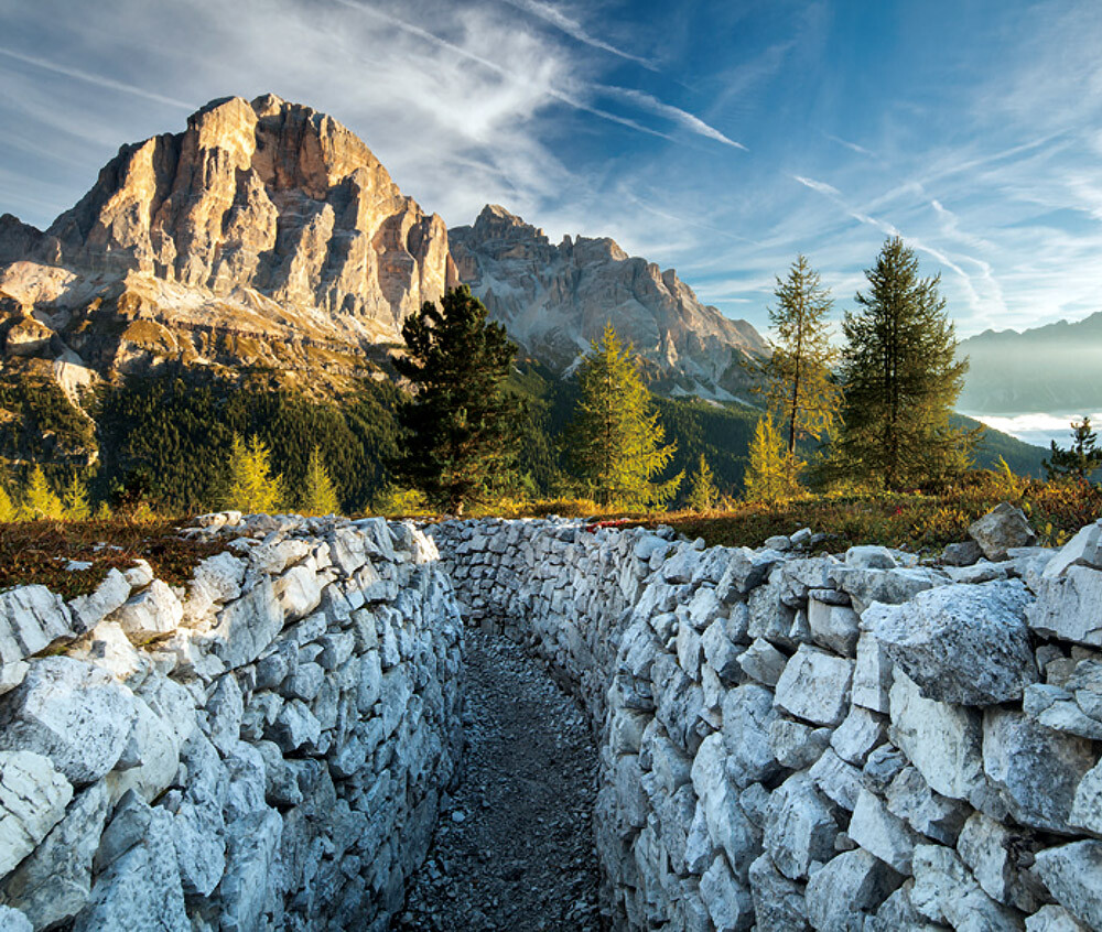
During World War I, the Dolomites became a major battlefield between Italian and Austro-Hungarian forces. Many lives were lost not only in combat but also to avalanches and other harsh mountain conditions. Today, remnants of the conflict, including trenches and tunnels, are preserved and open to the public as an open-air museum.
The Dolomites are also known as the birthplace of alpinism. Located in the heart of the Dolomite range, Cortina d'Ampezzo was one of the principal venues for the Milano Cortina 2026 Olympic and Paralympic Winter Games.
Cappadocia: Home to the Cave Cities (Turkey)
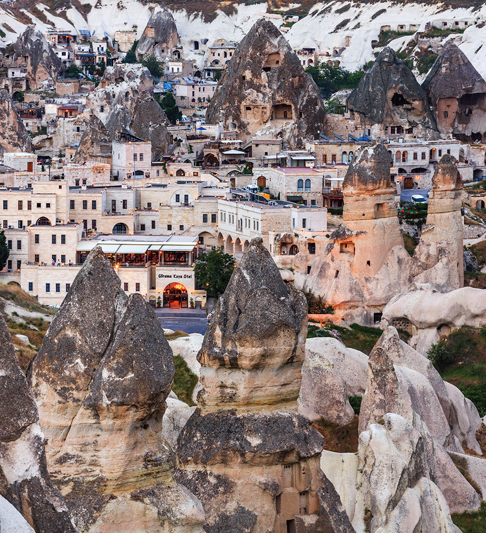
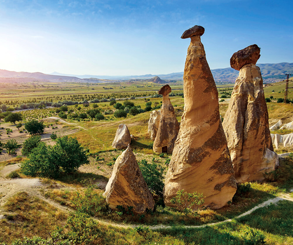
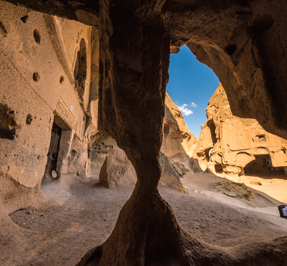
Beginning around 11 million years ago, intense volcanic activity deposited layers of lava and volcanic ash, forming strata of tuff 100 to 200 m thick. Over vast stretches of time, wind and rain eroded these rock layers, creating a network of caves and the distinctive rock formations known as "fairy chimneys." From around 3000 BCE, people began inhabiting these caves, and later, Christians and others carved churches and underground cities into the landscape. With its unique combination of natural and cultural heritage, Cappadocia has been designated by UNESCO as a rare mixed World Heritage Site.
The Eurasian Steppe: A Bridge Between East and West (Mongolian Plateau)
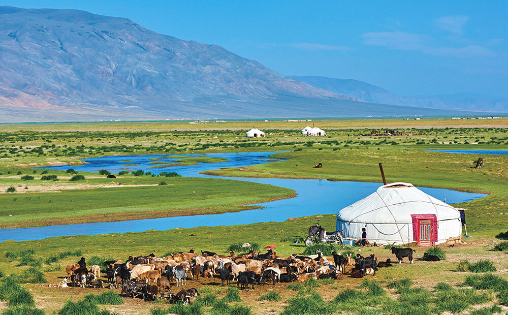
The Mongolian Plateau forms part of the Eurasian Steppe, the largest temperate grassland region on Earth. It stretches roughly 10,000 km from northeastern China through Mongolia, Central Asia, and southern Russia to Hungary. Although located in an arid region prone to desertification, this vast grassland with large meandering rivers was created by a remarkable combination of natural conditions: deep groundwater fed by permafrost melt and abundant meltwater flowing from the northern mountains. Nomadic pastoralism has been practiced here since prehistoric times. People have raised the five main types of livestock—sheep, goats, cattle (including yaks), horses, and camels—and lived by moving seasonally between pastures, with the mobile dwelling called ger as their base. From around the 2nd century BCE to the 15th century CE, the steppe served as a vital network of trade routes known as the Silk Road, facilitating the exchange of cultures, religions, and technologies between Europe and Asia.
The Tundra: Where Ancient Permafrost Endures (Siberia, Alaska, and Beyond)
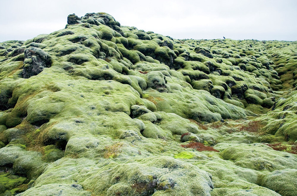
The tundra is a frozen, barren landscape. During the summer, snow and ice on the surface thaw, allowing mosses and lichens to grow. In recent years, rising global temperatures have accelerated the thawing of permafrost, raising concerns that the release of methane and carbon dioxide trapped in the frozen ground could further intensify climate change. The tundra also overlaps with the auroral oval, centered around 65° north latitude.
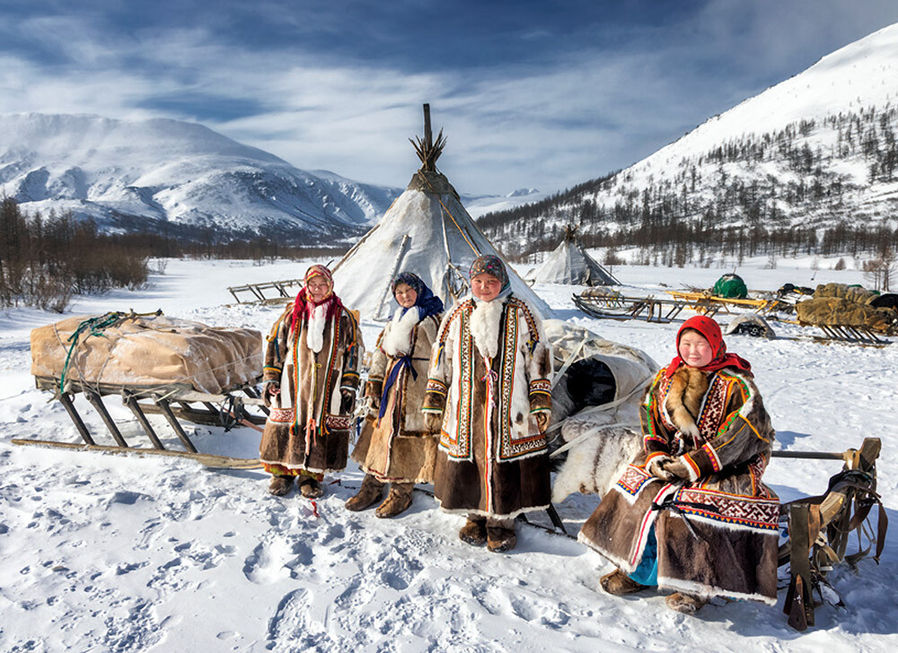
People living in the tundra have long maintained a way of life closely connected to their natural surroundings. Living in portable dwellings and moving seasonally, they obtain much of what they need for survival directly from nature, including food such as reindeer, seals, fish, shellfish, and lichens; clothing made from reindeer hides and sealskin; and shelter built from snow and sealskin.
Kushiro Wetland: Where the Ainu People Built Fortified Sites (Japan)
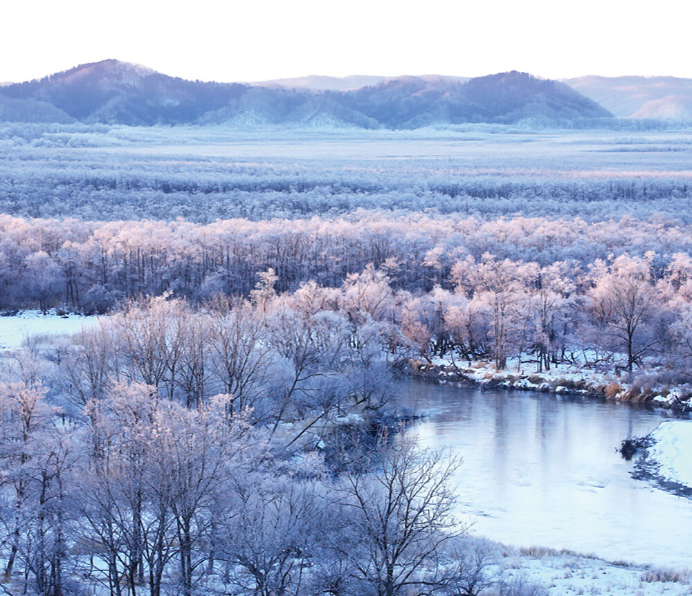
For the Ainu people, Hokkaido is the heartland of Ainu mosir—the "land where people live." Located in eastern Hokkaido, Kushiro Wetland is Japan's largest marshland. It was formed about 6,000 years ago when the sea retreated and the area became dry land, later enclosed by sandbars. The wetland was called Kus betsu ("the river that passes through") by the Ainu. They revered the red-crowned crane inhabiting the marsh as Sarurun Kamuy ("the god of the marsh"). At the same time, the Ainu sustained their lives through the fish, plants, and wildlife found there. For the people of the region, the wetland was both a sacred place and a source of abundant resources essential to daily life.
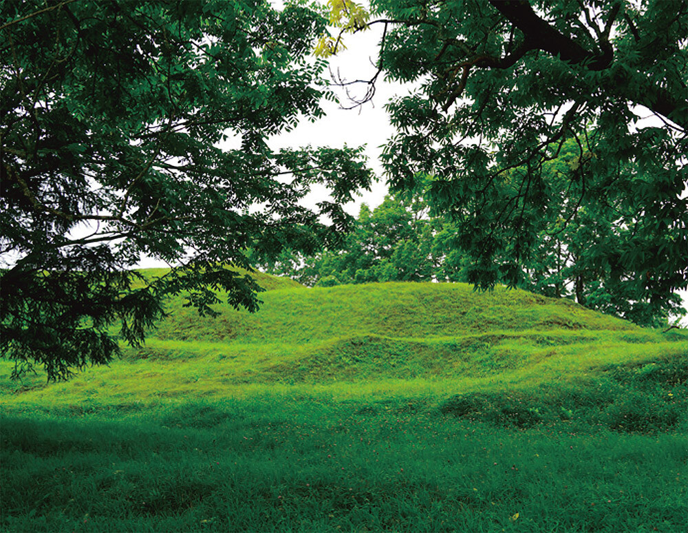
Throughout Hokkaido, the Ainu people built chashi—fortified sites that served as strongholds and places for ritual observances. Numerous chashi sites are found along the Kushiro River, which flows through the heart of Kushiro Wetland.
Takachiho Gorge: Where the Heavenly Grandchild Descended (Japan)
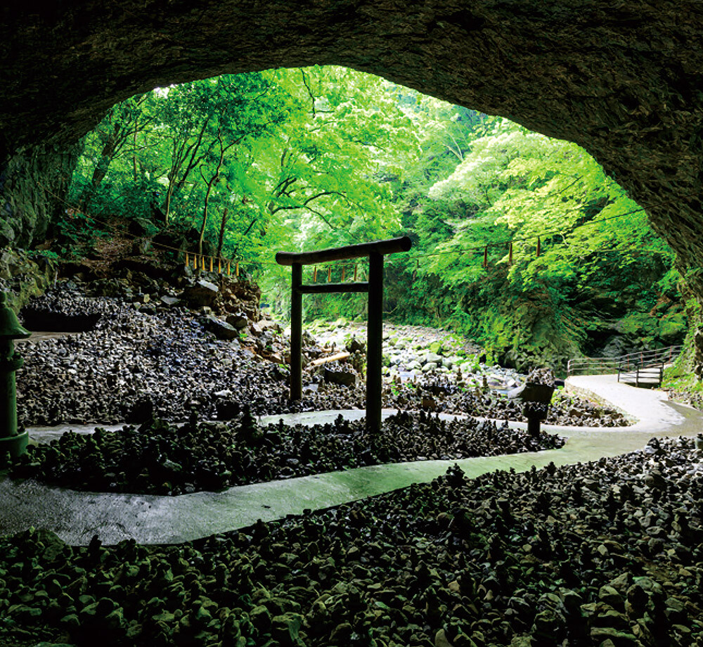
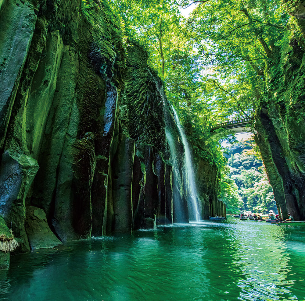
Tens of thousands of years ago, a massive eruption of Mount Aso sent enormous pyroclastic flows down the Gokase River. As the volcanic deposits cooled and contracted in the river, they formed striking pentagonal and hexagonal columnar joints. Over centuries, the Gokase River gradually carved through this volcanic rock, creating a dramatic gorge with sheer cliffs averaging 80 m in height and extending approximately 7 km from east to west.
Takachiho is revered in Japanese mythology as the place where Ninigi-no-Mikoto, the grandson of the sun goddess Amaterasu, descended from heaven to earth. The gorge's iconic Manai Falls is said to be fed by Ama-no-Manai, a sacred spring created when Ame-no-Murakumo-no-Mikoto brought the "seed of water" from heaven to this once waterless land at the time of the Descent of the Heavenly Grandson.
- Current page: page 1
- page 2
- 1 / 2
- Next page
- The last page
The issue this article appears
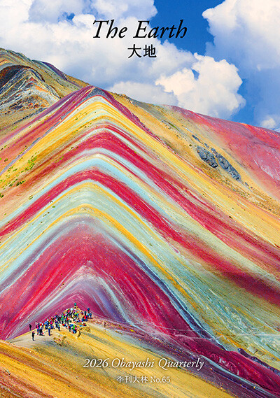
No.65 "Earth"
The earth nurtures life and sustains the rich natural environments that surround us. We live each day benefiting from its blessings. How did the earth come into being? And is there land on planets beyond Earth?
This issue explores the diverse and colorful landscapes found around the world and the ways in which they are intertwined with people’s lives. We also trace the geological processes that have shaped these distinctive landscapes. In the Obayashi Project, we took on the ambitious challenge of conceptualizing the creation of habitable terrain and the development of an environment capable of sustaining life inside a Martian crater.
We reflect on the richness and significance of the natural world nurtured by the earth and turn our thoughts to the future of our planet’s environment.
(Published in 2026)
-
The Colors and Expressions of the Earth
- View Detail
-
Earth's Soil and Planetary Soil
FUJII Kazumichi
(Unit Leader, Soil Homeostasis Research Unit, Fukushima Institute for Research, Education and Innovation) - View Detail
-
Who Owns Land in Space?: Rethinking the Ethics of Terraforming
MOTOMURA Yukiko
(Special Visiting Professor, Faculty of Life and Medical Sciences, Doshisha University; Guest Editor, The Mainichi Newspapers Co., Ltd.) - View Detail
-
Terraforming: Ecosynthesis and Ecological Restoration on Mars
Christopher P. McKay
(Planetary Scientist; Senior Scientist, NASA Ames Research Center) - View Detail
-
OBAYASHI PROJECT
Creating Habitable Terrain on Mars: Crater Paraterraforming
Concept: Obayashi Project Team
- View Detail
-
Dreams of the Red Earth: Five Hundred Years of Martian Settlement
TAKEUCHI Kaoru
(Science Writer; Professor, Faculty of Social Informatics, ZEN University) - View Detail
-
The "Earthen Houses" of Iceland
FUJIMORI Terunobu
(Architectural historian and architect; Director, Tokyo Metropolitan Edo-Tokyo Museum; and Emeritus Professor, University of Tokyo) - View Detail
-
The Earth's Memory: Landscapes Shaped by Nature and Human Life
- View Detail